Dahlonega, Georgia • North Georgia Mountains The Local Guide to the Gold Rush City Dahlonega, GA
THEDahlonega Journal

Your Complete Guide to Dahlonega, Georgia

Author: Henry Caldwell

  • The University of North Georgia: Dahlonega’s Military College and the Town It Shaped

    The University of North Georgia: Dahlonega’s Military College and the Town It Shaped

    Quick answer (TL;DR)

    The University of North Georgia has shaped Dahlonega since 1873 as its main employer, cultural anchor, and architectural focal point. As one of only six senior military colleges in the nation, UNG brings unique military traditions, student vitality, and educational growth to this mountain community.

    No institution has more profoundly shaped the character and trajectory of Dahlonega over the past century and a half than the University of North Georgia.

    1873 Founding Year
    1879 Price Memorial Built
    1993 Gold Dome Gilded
    1996 Military Designation
    A military dress cap rests on a wooden park bench, overlooking a quaint brick-paved town square framed by forested mountain slopes
    A military dress cap rests on a wooden park bench, overlooking a quaint brick-paved town square framed by forested mountain slopes

    A History of the Institution and Senior Military Designation

    The Georgia General Assembly established the North Georgia Agricultural College in 1873, choosing the site of the former Branch Mint in Dahlonega as its home. The choice was practical and symbolic: the college occupied the foundations of the Gold Rush era’s most important economic institution, transforming what had been a center of extraction into a center of cultivation.

    The college received federal land-grant designation under the Morrill Act and simultaneously took on a military character. In 1996, the institution was designated a senior military college by Congress—one of only six such institutions in the United States, alongside Virginia Military Institute, The Citadel, Texas A&M, Norwich University, and Virginia Tech. The senior military college designation means that UNG’s Corps of Cadets members are eligible to receive Army commissions as officers without completing a separate ROTC program. For residents interested in living in Dahlonega , this military heritage adds a unique cultural dimension to the area.

    The institution has grown substantially, expanding to a comprehensive multi-campus university with locations in Dahlonega, Gainesville, Cumming, Oconee, and Blue Ridge. Total enrollment across all campuses exceeds twenty thousand students. The Dahlonega campus retains its distinctive military residential college character and remains the institution’s most recognizable face to the public.

    Price Memorial Visitor Access

    Price Memorial Hall is open to visitors during regular university business hours. Self-guided tour materials are available at the welcome center.

    Price Memorial Hall and the Corps of Cadets

    Price Memorial Hall, constructed in 1879 on the foundation of the original Branch Mint building, is UNG’s most architecturally significant structure. The Victorian red brick academic building features a distinctive octagonal cupola that was gilded in 1993 with twenty-three ounces of gold leaf contributed by area gold mines and individuals, including gold donated by students.

    The gold dome of Price Memorial Hall, gilded with gold from local mines, stands as Dahlonega’s most recognizable landmark.

    The Corps of Cadets represents the living expression of the university’s military heritage. Approximately fifteen hundred students participate in the corps, living in barracks, following a structured daily schedule of physical training and formations, and wearing uniforms as standard attire. Ceremonial military events, such as Pass-in-Review and the Commissioning Ceremony, draw public spectators and are highlighted on community calendars alongside other local attractions .

    Visitor Parking Requirements

    Visitor parking is available in designated lots on the campus perimeter. Passes must be obtained at the gatehouse before parking on university grounds.

    Academic Programs and Symbiotic Town Integration

    UNG offers undergraduate degrees across a broad range of disciplines, with key strengths in nursing, business, education, criminal justice, and natural sciences. The geography of the Dahlonega campus—surrounded by the Chattahoochee National Forest—makes it an ideal base for research in environmental science, geology, and mountain ecology.

    Quick answer: How does UNG impact Dahlonega’s economy and culture?

    UNG is Lumpkin County’s largest single employer and brings thousands of residential and commuting students into town, directly sustaining local shops, restaurants, athletic events, theater productions, and regional cultural offerings.

    The university is the largest single employer in Lumpkin County, providing several hundred full-time faculty, staff, and administrative jobs. The student population of approximately five thousand on the Dahlonega campus represents a major economic presence in a town of roughly seven thousand permanent residents. Students support local businesses and enrich the local food scene , proving why Dahlonega is one of Georgia’s best small towns to live in .

    Cultural contributions extend to public artistic performance and athletics:

    • The Gainesville Symphony Orchestra performs periodic concerts in the university auditorium.
    • The theater program stages multiple public productions each academic year.
    • Peach Belt Conference NCAA Division II athletic events are open to the community, including basketball, soccer, and cross country.
    • Lumpkin County residents enjoy community borrowing privileges at the campus library.
    • Community listings regularly feature university and public events .
    Campus Attribute Historical & Operational Detail
    Campus Location 82 College Circle, Dahlonega, GA 30597
    Establishment Site Former US Branch Mint grounds (1873)
    Military Classification Senior Military College (one of six in the US)
    Academic Strengths Nursing, Business, Education, Criminal Justice, Natural Sciences
    Community Impact Largest employer in Lumpkin County

    Frequently Asked Questions

    When was the University of North Georgia established in Dahlonega?

    The Georgia General Assembly established North Georgia Agricultural College in 1873 on the site of the former Branch Mint.

    What makes UNG’s military status special?

    Congress designated UNG a senior military college in 1996. It is one of only six such institutions in the nation, allowing Corps of Cadets graduates to receive Army commissions as officers without completing a separate ROTC program.

    Why is the dome on Price Memorial Hall significant?

    Price Memorial Hall was constructed in 1879. In 1993, its cupola was gilded with twenty-three ounces of gold leaf contributed by area gold mines and local donors.

    Can visitors tour the UNG Dahlonega campus?

    Yes. Price Memorial Hall is open during business hours with self-guided tour materials at the welcome center. Visitor passes for perimeter lot parking are available at the campus gatehouse.

    Explore Real Estate Opportunities in Dahlonega

    Discover historic mountain properties and homes near the UNG campus today.

    Search North Georgia homes with Gold Peach Realty

    or call (770) 283-1223

  • The Perfect Dahlonega Weekend: A 48-Hour Itinerary for First-Time Visitors

    The Perfect Dahlonega Weekend: A 48-Hour Itinerary for First-Time Visitors

    Quick answer (TL;DR)

    A weekend trip to Dahlonega, Georgia, combines historic gold rush heritage, downtown dining, local shopping, and mountain wine country exploration. A 48-hour itinerary starting Friday evening allows visitors to experience the historic square, tour the Dahlonega Gold Museum, visit North Georgia wineries, pan for gold, and enjoy scenic waterfall views before departing Sunday afternoon.

    Dahlonega rewards the visitor who arrives with a well-planned itinerary that balances historic square exploration, local dining, mountain wineries, and gold rush history.

    48 Hours Itinerary Length
    1828 Gold Rush Year
    729 Feet Amicalola Falls Height
    1836 Courthouse Built
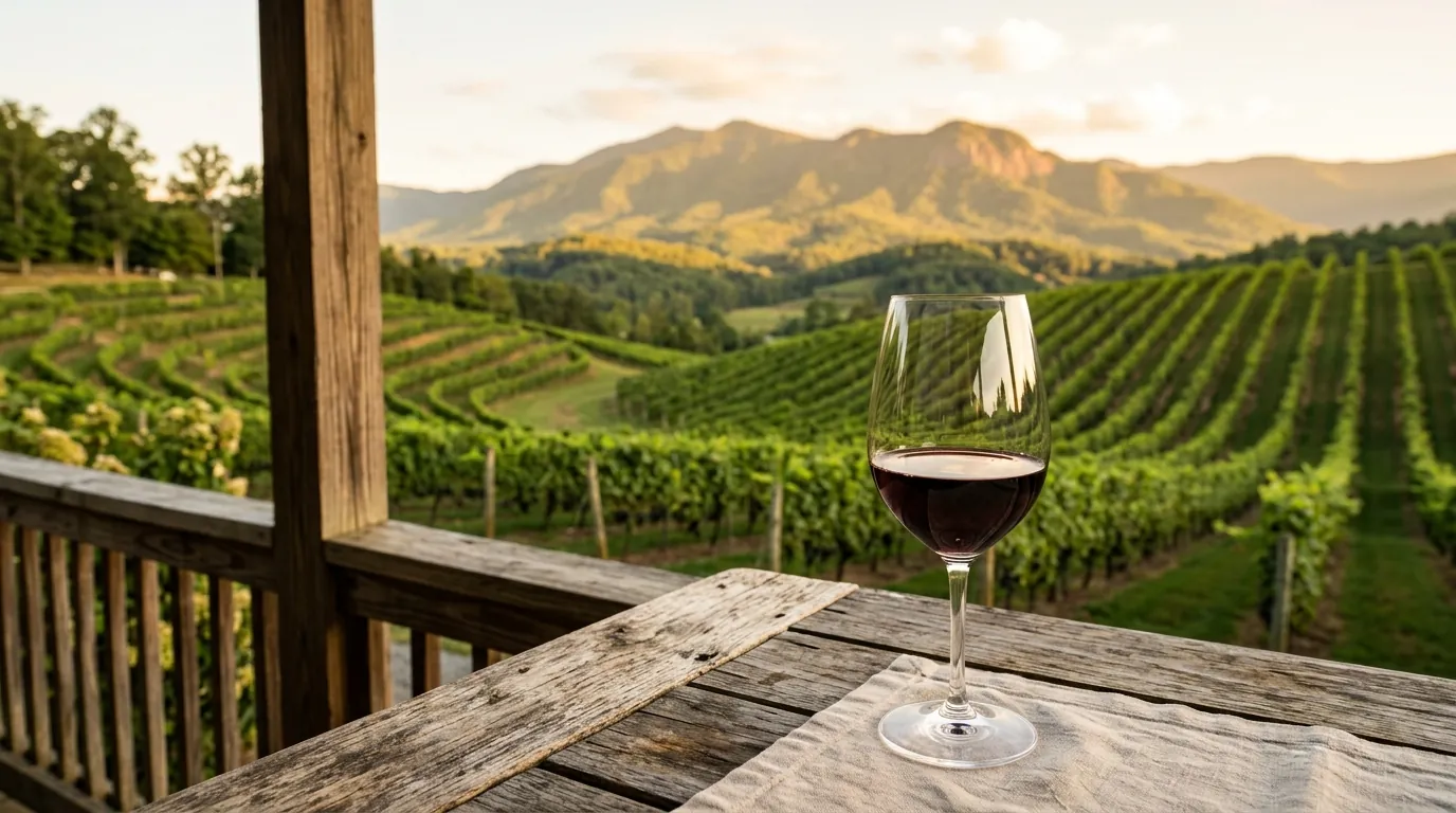
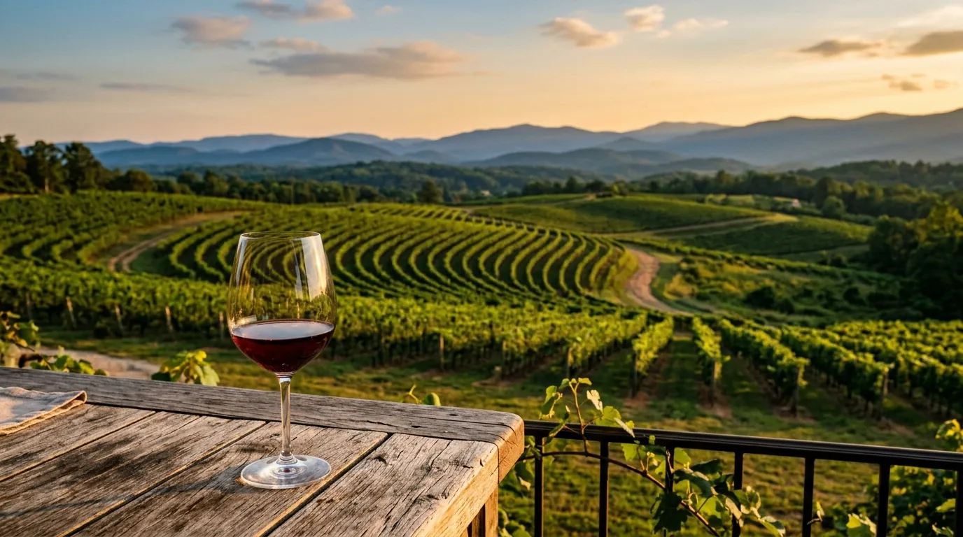
    A filled wine glass sits on a rustic wooden table overlooking sunlit, rolling mountain vineyards at golden hour
    A filled wine glass sits on a rustic wooden table overlooking sunlit, rolling mountain vineyards at golden hour

    Friday Evening: Arrival and Historic Square Exploration

    Plan your arrival for late afternoon, ideally before the light fades over the mountains. The drive into town on U.S. 19 from Atlanta passes through the gradually steepening terrain of the northern piedmont before climbing onto the plateau proper; the moment when the mountains come fully into view, about forty-five minutes north of the city, is one of the great small pleasures of the North Georgia approach. Those interested in living in Dahlonega will appreciate how close this mountain setting sits to metropolitan convenience.

    Check into your lodging first. Options range from the historic Smith House on South Chestatee Street, operating since 1922, to secluded lodging like Lily Creek Lodge outside town. After settling in, walk to the public square anchored by the 1836 courthouse. On Friday evenings during warmer months, the square often hosts informal musical performances, and nearby businesses are open for dining and drinks .

    Historic Accommodation Highlight

    The Smith House has operated as a historic inn and family-style dining location on South Chestatee Street since 1922, offering traditional mountain hospitality within walking distance of the historic square.

    For Friday night dinner, Shenanigan’s Irish Pub on the square is a reliable, unpretentious option with a convivial atmosphere. Alternatively, The Back Porch Oyster Bar on South Chestatee offers seafood and a good wine list for a leisurely evening conversation.

    Saturday: Museum History, Wineries, and Live Music

    Saturday morning begins with breakfast near the square. The Smith House serves a traditional country-style morning meal, while nearby coffee shops provide pastries and espresso. By 9 a.m., head to the Dahlonega Gold Museum Historic Site at 1 Public Square (Phone: 706-864-2257). Allow at least ninety minutes to view exhibits on the 1828 gold rush, Cherokee removal, and branch mint era. Afterwards, explore the surrounding nineteenth-century architecture and boutique shops that define the local food scene and gallery district.

    The afternoon is devoted to exploring regional vineyards. Visiting Wolf Mountain Vineyards and Three Sisters Vineyards covers a useful range from estate dining to casual, community-oriented tasting rooms. Learn more about the region in our guide to North Georgia Wine Country and discover additional attractions along Lumpkin County’s scenic rural roads.

    Winery Dining Reservations Required

    If you plan to dine at Wolf Mountain Vineyard’s restaurant during your Saturday tour, reservations must be made well in advance as seating is limited and popular among weekend visitors.

    Quick answer: What is recommended for Saturday evening entertainment?

    Saturday evening dining options include Crimson Moon Café on South Chestatee Street for live folk, bluegrass, or Americana music, or Spirits Tavern on the square for craft cocktails and modern tavern dishes.

    For Saturday evening, Crimson Moon Café features live music alongside Southern-inspired dishes. For a quieter meal, Spirits Tavern offers craft cocktails and an inventive menu. Check for scheduled gallery openings or special upcoming events during your stay.

    Sunday: Gold Mining History and Mountain Panoramas

    Dedicate Sunday morning to gold panning at either Crisson Gold Mine or Consolidated Gold Mine. Both operations provide ore concentrate containing gold flakes and occasional small nuggets. Consolidated Gold Mine also offers an underground tour through quartz-gold ore tunnels. Allow two hours for the combined tour and panning at Consolidated, or ninety minutes for panning at Crisson.

    A well-planned 48-hour itinerary balances the rich gold rush history of Dahlonega with its thriving modern wine country and historic square atmosphere.

    If time permits before departure, drive approximately twenty-five minutes south on U.S. 19 to Amicalola Falls State Park to view the 729-foot waterfall near the Appalachian Trail southern terminus approach. Conclude your weekend with Sunday family-style midday service at the Smith House or stop by the Farmers Market at the Lumpkin County Extension Office for local goods. Return to Atlanta via U.S. 19 South, Georgia Highway 400, or Georgia Highway 9.

    Location / Attraction Key Experience Time / Location Notes
    Dahlonega Gold Museum 1828 gold rush exhibits and historical film 1 Public Square (Open daily)
    Consolidated Gold Mine Underground mine tour and placer gold panning Allow two hours for tour and panning
    Crisson Gold Mine Outdoor panning experience with gold color Allow ninety minutes for panning
    Amicalola Falls State Park 729-foot cascading waterfall viewing Twenty-five minutes south via U.S. 19

    Frequently Asked Questions

    What are the operating hours for the Dahlonega Gold Museum Historic Site?

    The Dahlonega Gold Museum Historic Site at 1 Public Square is open Monday through Saturday from 9 a.m. to 5 p.m., and Sunday from 10 a.m. to 5 p.m. Admission is charged.

    Where can visitors pan for gold in Dahlonega?

    Gold panning experiences with guaranteed color are offered at both Crisson Gold Mine and Consolidated Gold Mine. Consolidated also features an underground mine tunnel tour.

    How far is Amicalola Falls State Park from Dahlonega?

    Amicalola Falls State Park is located approximately twenty-five minutes south of Dahlonega along U.S. 19, featuring a 729-foot waterfall.

    Explore Real Estate Options in Dahlonega

    Find your ideal mountain retreat or permanent home in North Georgia with expert local guidance.

    Search North Georgia homes with Gold Peach Realty

    or call (770) 283-1223

  • North Georgia Wine Country: A Guide to the Dahlonega Plateau AVA

    North Georgia Wine Country: A Guide to the Dahlonega Plateau AVA

    Quick answer (TL;DR)

    The Dahlonega Plateau AVA in North Georgia offers a unique high-elevation wine growing climate between 1,400 and 2,200 feet above sea level. Featuring established estate wineries like Wolf Mountain, Montaluce, Three Sisters, Frogtown, and Kaya, the region produces acclaimed Vitis vinifera and hybrid wines just a short drive from downtown Dahlonega.

    The Dahlonega Plateau AVA stands as North Georgia’s premier wine growing region, leveraging cool high-elevation microclimates and granitic soils to produce acclaimed estate wines.

    2018 AVA Established
    1,400-2,200 FT Plateau Elevation
    1996 First Estate Winery
    Lumpkin Co. Heart of AVA
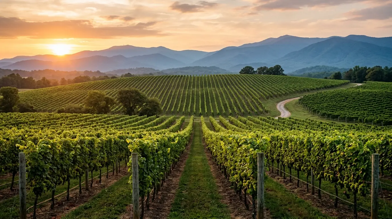
    A glass of wine rests on a wooden table overlooking endless vineyard rows sweeping toward distant, hazy blue mountain ridges
    A glass of wine rests on a wooden table overlooking endless vineyard rows sweeping toward distant, hazy blue mountain ridges

    The Dahlonega Plateau AVA Designation and Climate

    In 2018, the Alcohol and Tobacco Tax and Trade Bureau (TTB) granted American Viticultural Area (AVA) designation to the Dahlonega Plateau, formally recognizing the area’s distinctive viticultural identity. The Dahlonega Plateau AVA encompasses approximately 132,000 acres in Lumpkin, Dawson, and White counties, with elevations ranging from 1,400 to 2,200 feet above sea level. To qualify for the designation, the vast majority of grapes must be grown within the official AVA boundaries.

    The designation followed years of advocacy by local winemakers who argued that the plateau’s combination of elevation, well-drained granitic soils, cool nights, and moderate summer temperatures creates growing conditions meaningfully different from the hotter, humid Georgia piedmont below. Temperatures on the Dahlonega Plateau remain distinctly cooler in summer than surrounding lower-elevation areas, allowing grapes to retain natural acidity during ripening.

    The plateau is bordered to the north by the escarpment of the Blue Ridge, which blocks cold Arctic air masses and moderates winter temperatures. This positioning creates a favorable mesoclimate with an extended growing season roughly comparable in thermal terms to parts of the Finger Lakes region of New York or the cooler portions of the Willamette Valley in Oregon.

    Quick answer: Terroir

    High elevations, granitic soils, and protective mountain geography grant the Dahlonega Plateau a cooler microclimate that preserves grape acidity and supports world-class winemaking.

    Signature Grape Varieties of the Region

    The choice of grape varieties grown on the Dahlonega Plateau reflects both the region’s climatic realities and the evolving vision of its winemakers. Early successful plantings favored French-American hybrids that tolerated summer humidity and fungal disease pressure. Chambourcin remains a workhorse red in the region, producing compelling wines with bold color and firm structure when carefully managed.

    Increasingly, the plateau’s leading producers have planted and succeeded with European Vitis vinifera varieties:

    • Cabernet Franc: Emerged as a consistent noble red, offering elegant structure with characteristic herbal, red-fruit, and floral notes.
    • Merlot, Petit Verdot & Malbec: Show strong promise across select hillside vineyard sites.
    • Chardonnay & Viognier: Produce crisp, aromatic white wines highlighting natural acidity.
    • Blanc du Bois: A disease-resistant white hybrid with bright acidity that pairs naturally with seafood and lighter Southern cuisine.

    Visitors exploring the Dahlonega local food scene and regional dining and drinks options will find these estate wines featured prominently across local menus.

    Prominent Estate Wineries on the Dahlonega Plateau

    A cluster of notable wineries within a short drive of Dahlonega produces wines that have earned recognition in national competitions. You can explore all Dahlonega wineries to plan your route, starting with these established estates:

    Resort & Estate Experiences

    From full-service dining at Montaluce and Wolf Mountain to boutique tastings at Kaya, Dahlonega offers diverse tasting room environments suitable for day trips or extended stays.

    Three Sisters Vineyards: Founded in 1996 by Doug and Sharon Paul, Three Sisters is among the oldest continuously operating estate wineries in the region and was a founding member of the Dahlonega Plateau AVA movement. Located off Dahlonega Highway on a south-facing slope, the estate is known for its Vin de Fee blend and regular music festivals.

    Wolf Mountain Vineyards: Regarded as one of the premier estate wineries in the Southeast, Wolf Mountain features sweeping mountain views, an acclaimed restaurant, and a renowned sparkling wine program crafted in the traditional method alongside Bordeaux-style red blends like Instinct.

    Montaluce Winery and Estates: A resort destination featuring Tuscan-style architecture, rental cottages, formal gardens, and the Le Vigne restaurant. Montaluce focuses on Italian and French varieties including Sangiovese, Vermentino, and Montepulciano.

    Frogtown Cellars: Founded by Craig and Cydney Kritzer, Frogtown features terraced hillside vineyards and produces an extensive portfolio of over twenty wines, ranging from French varieties to Italian selections like Primitivo and Aglianico.

    Kaya Vineyard and Winery: Situated on a scenic ridge, Kaya concentrates on small-production estate wines with minimal intervention, focusing primarily on Cabernet Franc, Malbec, and Chardonnay.

    Winery Focus & Style Location
    Three Sisters Vineyards Estate blends, Cabernet Franc, Vin de Fee Dahlonega Highway, Lumpkin Co.
    Wolf Mountain Vineyards Method Traditionnelle sparkling, Bordeaux blends Wolf Mountain Trail, Dahlonega
    Montaluce Winery & Estates Italian varieties, resort dining & villas Via Montaluce, Dahlonega
    Frogtown Cellars Terraced vineyard estate, extensive portfolio Ridge Point Drive, Dahlonega
    Kaya Vineyard & Winery Boutique small-batch Vitis vinifera Windy Ridges Court, Dahlonega

    Planning a Visit to North Georgia Wine Country

    A well-organized Dahlonega wine country visit typically covers two to four wineries in a single day, allowing adequate time for unhurried tasting experiences and a meal at an estate restaurant. Planning a wine trip is often a highlight of a weekend itinerary for Dahlonega .

    Visitor Tip & Driving Safety

    Navigating winding mountain roads requires careful planning. Designate a driver or hire a local guided tour service, and secure tasting reservations early during autumn peak season.

    A well-planned wine tour highlights North Georgia’s distinct terroir while offering breathtaking views across the southern Blue Ridge.

    The harvest season, running from late August through October, is the most active time to visit, featuring harvest festivals and live picking activity. Spring and early summer bring lush greenery and lighter crowds. Tasting fees vary by estate, with many properties waiving fees upon minimum bottle purchases. Please confirm current rates and policies directly with each winery before visiting.

    For those considering living in Dahlonega , the surrounding vineyards add incredible lifestyle value. This rich viticultural backdrop is a major reason why Dahlonega is one of Georgia’s best small towns to live in .

    Frequently Asked Questions

    What is the Dahlonega Plateau AVA?

    The Dahlonega Plateau AVA is an officially designated American Viticultural Area established in 2018, encompassing roughly 132,000 acres across Lumpkin, Dawson, and White counties defined by high elevations and distinct growing conditions.

    What grape varieties grow best on the Dahlonega Plateau?

    The region excels with Cabernet Franc, Merlot, Chardonnay, Viognier, and French-American hybrids like Chambourcin and Blanc du Bois.

    How many wineries should I visit in one day?

    Visiting two to four wineries in a single day allows ample time for tastings, tours, and dining without rushing through mountain transit.

    Explore North Georgia Real Estate

    Find your ideal home or mountain property near Dahlonega’s premier wineries and scenic landscapes.

    Search North Georgia homes with Gold Peach Realty

    or call (770) 283-1223

  • A Hiker’s Guide to Blood Mountain and the Georgia Appalachian Trail

    A Hiker’s Guide to Blood Mountain and the Georgia Appalachian Trail

    Quick answer (TL;DR)

    Blood Mountain is the highest peak on the Appalachian Trail in Georgia, standing at 4,458 feet above sea level within the Chattahoochee National Forest. Located roughly twelve miles from Dahlonega, it offers popular hiking routes like the 2.2-mile trail from Neels Gap, scenic Blue Ridge views, and the historic stone Civilian Conservation Corps shelter at its summit.

    At 4,458 feet above sea level, Blood Mountain stands as the highest peak on the Appalachian Trail in Georgia and one of the most storied summits in the entire 2,190-mile footpath.

    4,458 ft Summit Elevation
    2.2 mi Trail from Neels Gap
    7,800 Acres Wilderness Area
    1930s Historic Shelter Built
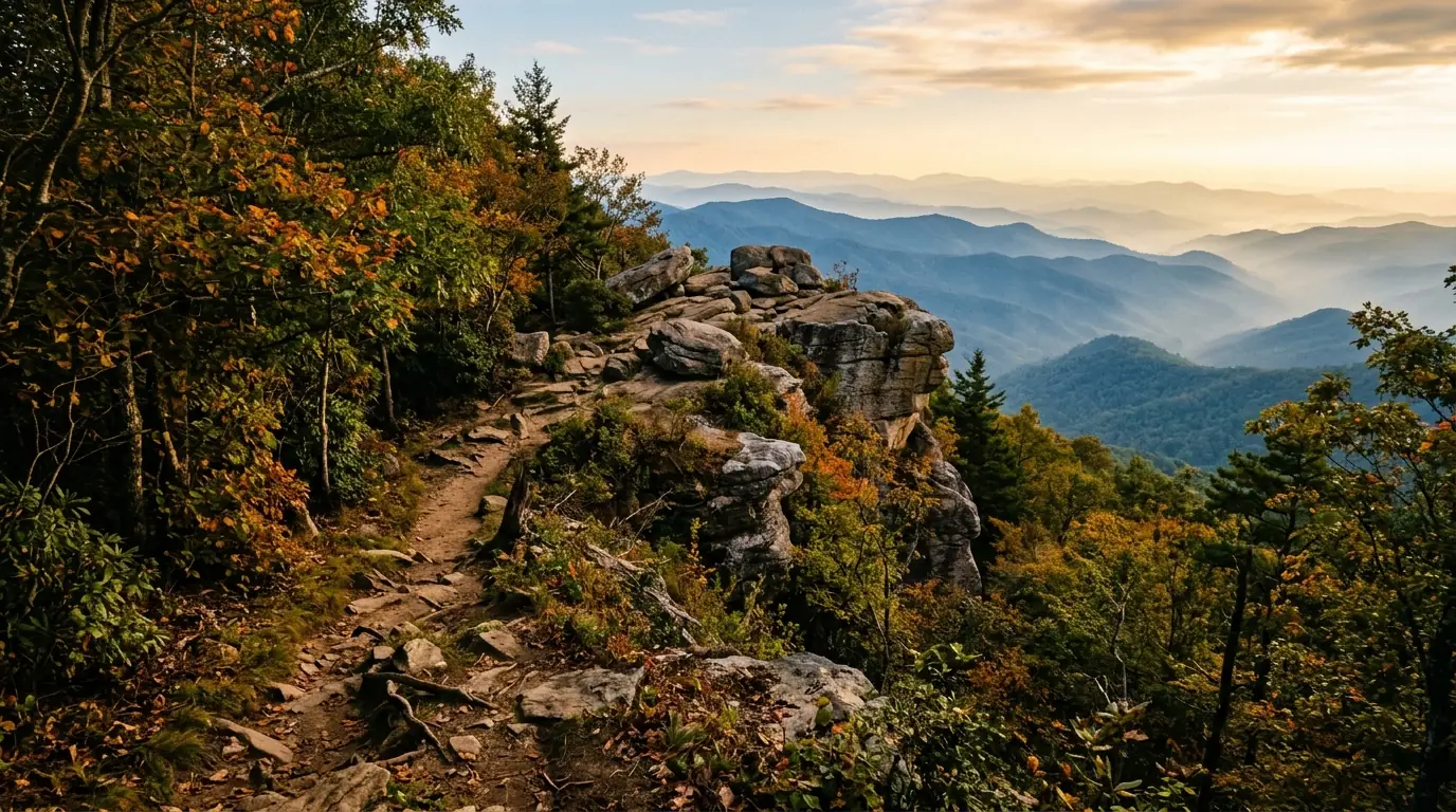
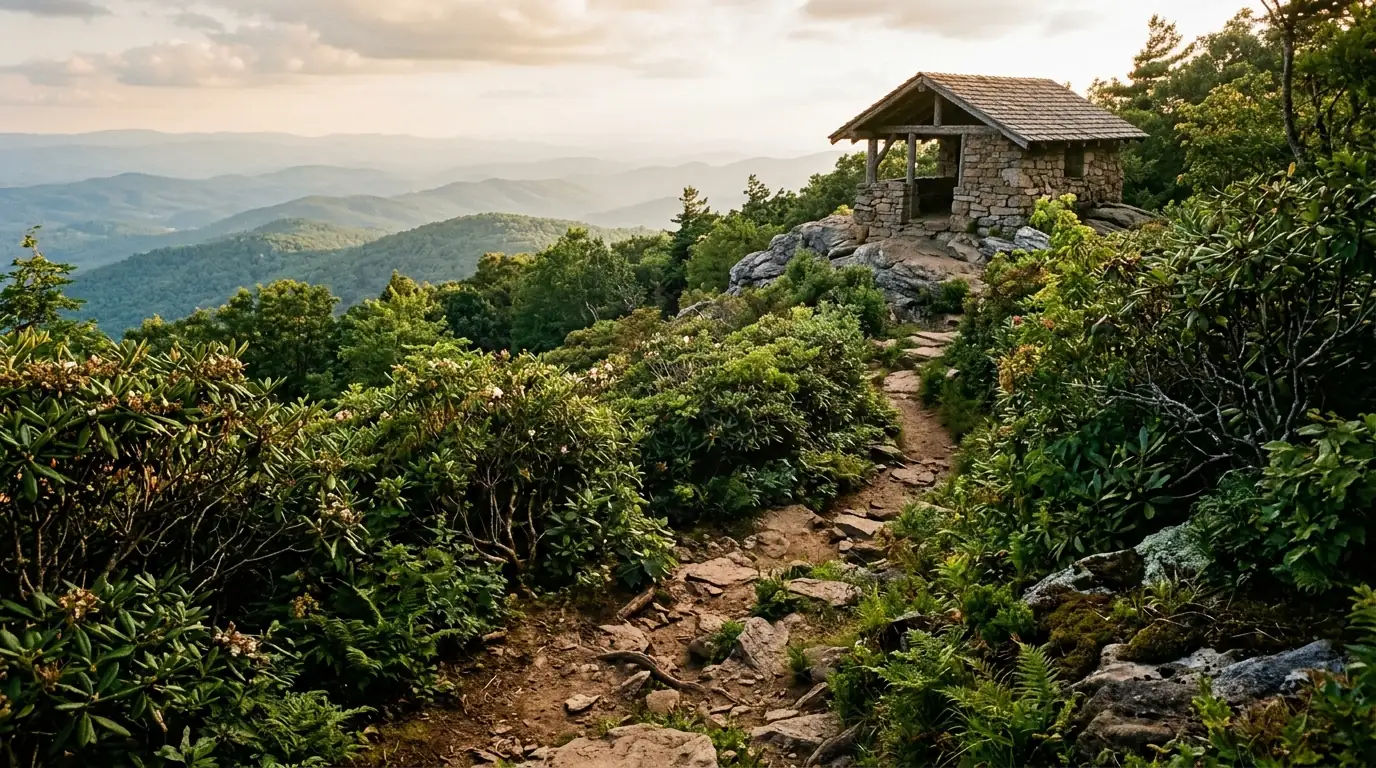
    A rocky dirt footpath winds through dense rhododendron bushes toward a rustic stone shelter atop a hazy, forest-covered mountain summit
    A rocky dirt footpath winds through dense rhododendron bushes toward a rustic stone shelter atop a hazy, forest-covered mountain summit

    Mountain History and Geology

    Located within the Chattahoochee National Forest approximately twelve miles southeast of Dahlonega, Blood Mountain draws tens of thousands of hikers annually—from casual day-trippers seeking panoramic views to thru-hikers marking their first major milestone on the journey to Maine.

    Blood Mountain’s vivid name has inspired considerable speculation over the years. The most widely repeated origin story holds that a brutal battle between the Cherokee and the Creek nations was fought on or near its slopes, staining the mountain’s rocks red with the blood of fallen warriors. Historical and archaeological evidence for a specific decisive engagement at this site is limited. A more prosaic explanation ties the name to red lichens, such as Cladonia cristatella , that coat the summit rocks and give them a reddish cast when wet. The Cherokee called the mountain Slaughter Mountain in some accounts.

    The mountain falls within the Blood Mountain Wilderness, a federally designated wilderness area of approximately 7,800 acres established in 1991. Wilderness designation prohibits mechanized equipment, motorized vehicles, and commercial activities within the area’s boundaries. Geologically, the summit is capped by Blood Mountain Biotite Gneiss formed roughly one billion years ago during the Grenville orogeny. Subsequent tectonic events over hundreds of millions of years shaped the crystalline gneisses and schists visible today. The open rocky summit supports a Southern Appalachian Rocky Summit ecosystem, a globally rare plant community.

    Historic Summit Shelter

    Built by the Civilian Conservation Corps in the 1930s, the stone Blood Mountain Shelter accommodates eight to twelve hikers in its sleeping loft and features a rare stone fireplace.

    Primary Routes to the Summit

    Hikers reaching the summit can choose from multiple established trail approaches depending on their experience level and preferred distance.

    Route Name Distance Elevation Gain Key Highlights
    Appalachian Trail from Neels Gap 2.2 miles one way 1,340 feet Passes through Mountain Crossings outfitter building
    Freeman Trail Loop via Slaughter Creek 6 miles loop 1,700 feet Varied forest types and a less crowded trail experience

    The most heavily traveled approach begins at Neels Gap (elevation 3,125 feet) on U.S. Highway 19/129, where the Appalachian Trail passes directly through the Mountain Crossings outfitter and hostel. From the gap, the trail gains approximately 1,300 feet over 2.2 miles to the summit, making a 4.4-mile round trip. Parking fees or trail use requirements should be confirmed with local authorities prior to visiting.

    The stone Blood Mountain Shelter, built by the Civilian Conservation Corps in the 1930s, remains one of the few historic CCC structures along the entire Appalachian Trail.

    Views, Seasonal Tips, and Nearby Trails

    On clear days, the summit offers views across the Blue Ridge toward the Smokies to the north and west, while the Georgia piedmont stretches to the south and east. During late May and early June, mountain laurel and Catawba rhododendron bloom near the summit. Visitors interested in fall color in the North Georgia mountains will find October ideal for crisp hiking conditions and vibrant foliage.

    Quick answer: What is the best time of day to hike?

    Starting early—on the trail by 7 a.m. during summer—helps avoid peak heat, high humidity, and mid-morning parking crowds at Neels Gap.

    Winter Trail Hazards

    Ice and snow can make the upper rocky sections below the summit hazardous; micro-crampons are strongly recommended when temperatures drop below freezing.

    Those interested in living in Dahlonega enjoy close access to additional outdoor options and the local food scene . Other nearby recreational sites include:

    • Amicalola Falls State Park Approach Trail: Located fifteen miles west of Dahlonega, featuring a 729-foot cascading waterfall and connections to Springer Mountain.
    • Yahoola Creek Reservoir Trail: A gentle 3.5-mile loop trail around the shoreline just north of town.
    • Chestatee River Greenway: Offers Class I and Class II whitewater for canoeing, kayaking, and tubing.

    To discover more outdoor options, explore additional local activities and town attractions .

    Frequently Asked Questions

    Where is Blood Mountain located?

    Blood Mountain is located within the Chattahoochee National Forest, approximately twelve miles southeast of Dahlonega along the Lumpkin and Union County line.

    How long is the hike to the summit from Neels Gap?

    The hike from Neels Gap to the summit is 2.2 miles one way (4.4 miles roundtrip) with an elevation gain of approximately 1,400 feet.

    Can hikers stay overnight at the summit shelter?

    The historic stone Blood Mountain Shelter operates on a first-come, first-served basis for overnight users. Camping within the Blood Mountain Wilderness is restricted to designated sites, and dispersed camping is prohibited within a quarter-mile of the trail.

    Explore North Georgia Living

    Find your ideal mountain retreat or home near the trails with Gold Peach Realty.

    Search North Georgia homes with Gold Peach Realty

    or call (770) 283-1223

  • The Gold That Built a Town: Dahlonega’s Rush of 1828

    The Gold That Built a Town: Dahlonega’s Rush of 1828

    Quick answer (TL;DR)

    Dahlonega’s gold rush began in 1828 when Benjamin Parks discovered placer gold along Ward’s Creek in Lumpkin County. The find brought thousands of prospectors to Cherokee territory, led to the establishment of the Dahlonega Branch Mint in 1838, and accelerated Cherokee removal. Today, this rich mining history shapes Dahlonega’s heritage, tourism, and mountain lifestyle.

    Long before California captured the world’s imagination in 1849, a quiet stretch of the North Georgia mountains ignited the first major gold rush in United States history.

    1828 Gold Discovered
    1838 Mint Opened
    1.4 Million Coins Minted
    1879 Price Hall Built
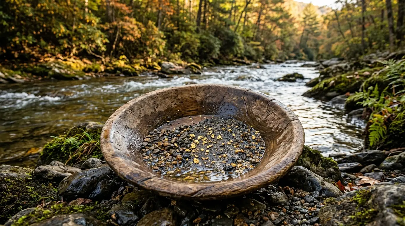
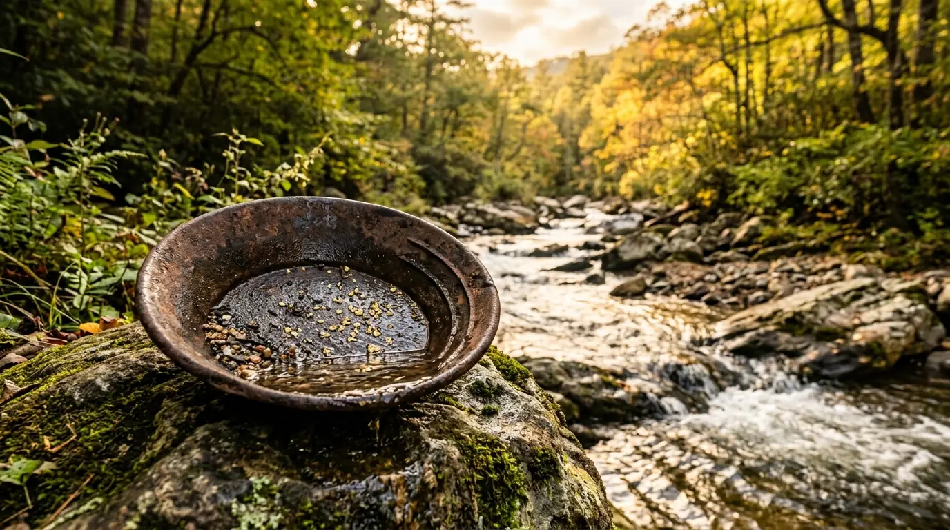
    A rusted iron panning dish containing glinting gold flakes rests on a mossy rock beside a rushing mountain creek
    A rusted iron panning dish containing glinting gold flakes rests on a mossy rock beside a rushing mountain creek

    The 1828 Discovery and the Georgia Gold Rush

    The precise origins of the Georgia Gold Rush trace back to Benjamin Parks, a deer hunter from Habersham County, who made a pivotal find in the autumn of 1828 near Ward’s Creek in present-day Lumpkin County. After kicking over a stone, Parks uncovered placer gold that had been worn smooth by centuries of stream flow. Word spread rapidly, bringing more than ten thousand miners into the North Georgia hills by 1829 to set up crude tent camps along creek banks.

    Historical Etymology

    The name Dahlonega originates from the Cherokee word talonega, which translates to yellow money or precious yellow, celebrating the golden streams running through the region.

    The Dahlonega Branch Mint and Economic Expansion

    To bring order to the expanding southern extraction industry, Congress authorized branch mints in 1835. The Dahlonega Branch Mint opened in 1838 as an economic and civic anchor in the center of the public square. Over twenty-three years of operation, the facility produced approximately 1.4 million gold coins stamped with a distinctive D mintmark. Operations ceased in 1861 at the outbreak of the Civil War when Georgia seized the mint and its gold reserves.

    Tragic Impact on Cherokee Nation

    The influx of thousands of prospectors onto Cherokee territory triggered federal intervention, resulting in the Indian Removal Act of 1830 and the forced migration of sixteen thousand Cherokee people along the Trail of Tears.

    Although the original mint building burned in 1878, Price Memorial Hall was constructed on its foundation in 1879. Today, this gold-domed landmark forms part of The University of North Georgia: Dahlonega’s Military College and the Town It Shaped .

    Price Memorial Hall stands on the original foundation of the Dahlonega Branch Mint, serving as a lasting symbol of North Georgia’s mining legacy.
    Quick answer: Can you still search for gold in Dahlonega today?

    Yes. While commercial mining ended in the early twentieth century, recreational panning and guided underground gallery tours remain popular local activities for residents and visitors alike.

    Mechanics of Gold Extraction: Placer vs. Lode Mining

    Gold in Lumpkin County occurred as placer deposits in stream beds and as lode gold embedded in quartz veins within Blue Ridge rock formations. Extraction evolved from individual hand tools to industrial mining operations over the nineteenth century.

    Mining Method Location & Media Key Tools & Techniques
    Placer Mining Stream beds and alluvial gravels Gold pans, wooden sluice boxes, and pressurized hydraulic jets
    Lode Mining Quartz veins in crystalline rock Hard-rock tunneling, blasting, and heavy stamp mills

    The Consolidated Gold Mine, established in the 1880s two miles east of the Dahlonega square, reached depths over two hundred feet below the surface and represents the peak of industrial mining in the area.

    Exploring Modern Dahlonega’s Gold Heritage

    When news of the California strike reached North Georgia in 1849, local assayer Dr. Matthew Stephenson famously encouraged prospectors to remain, noting that vast gold resources remained in the local mountains. That historical spirit lives on through local attractions and community activities .

    • Crisson Gold Mine: Operating on Wimpy Mill Road since 1969, featuring open sluice boxes, stamp mills, and historical processing artifacts.
    • Consolidated Gold Mine: Offers guided underground gallery tours and stream-fed panning stations supplied with gold-bearing ore.
    • Dahlonega Gold Museum Historic Site: Located inside the 1836 Lumpkin County courthouse at the public square, housing rare artifacts and historical exhibits.

    Whether you are planning a weekend visit to Dahlonega , exploring North Georgia wine country , or considering living in Dahlonega and calling this mountain town home , the legacy of 1828 remains central to the region’s unique charm.

    Frequently Asked Questions

    When was gold first discovered in Dahlonega?

    Gold was discovered in the autumn of 1828 by Benjamin Parks near Ward’s Creek in Lumpkin County, sparking the nation’s first major gold rush.

    What was the Dahlonega Branch Mint?

    Authorized by Congress in 1835 and opened in 1838, the mint processed regional gold and produced over 1.4 million gold coins with a D mintmark before closing in 1861.

    Where can you learn about Dahlonega’s gold rush history today?

    Visitors can explore the Dahlonega Gold Museum Historic Site on the public square, take underground gallery tours at Consolidated Gold Mine, or pan for gold at Crisson Gold Mine.

    Find Your Mountain Home in Historic Dahlonega

    Explore real estate opportunities and mountain properties in North Georgia with trusted local market experts.

    Search North Georgia homes with Gold Peach Realty

    or call (770) 283-1223

Looking for homes in North Georgia? Visit Gold Peach Realty at goldpeachrealty.com — your local experts in Dahlonega, Gainesville, and the surrounding mountain communities. Call (770) 283-1223.